Adding a track
Tracks can used to to show the physical path taken when surveying, controlling, or checking the results of controls.
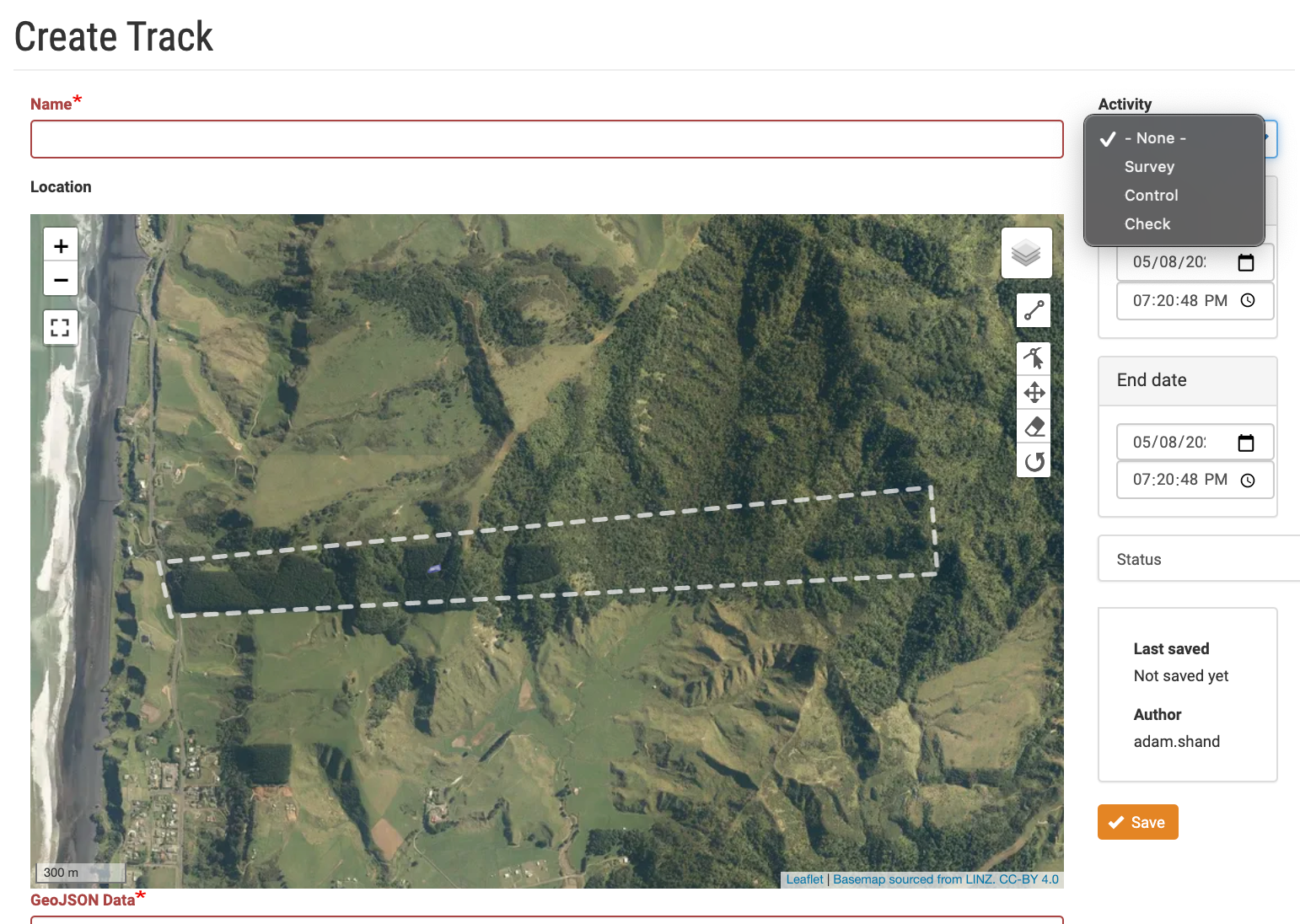
- Under the Weeds tab on your project map click on Add new…. A list options will appear, choose Track.
- On the Create Track page use the map tools to place the track on the map.
- Track types can be for Survey, Control and Checking the result of a control.
- Click on Save to add the track.